The Logistics:
Metric ride: 31.7 out (63.4 out & back) Add 1.6 mi. (.8mi one way) to get to Sarah Totten Campground.
Rest Rm at the start (Ft. Jones), Rest Rm at 14.5 mi. (Indian Scotty Campground), Rest Rm at 32.5 mi. (Sarah Totten Campground)
Climbing: 2556 ft. (per Edge)

Ride details:
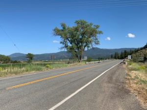
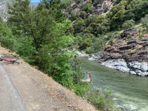
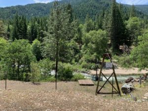
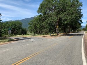
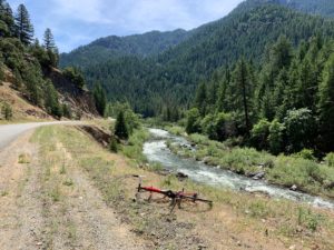
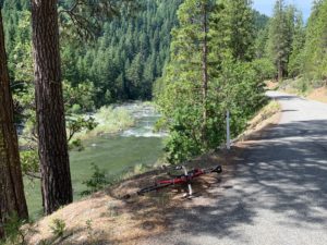
Leaving Ft. Jones, you start through the Valley for about 7-ish miles of flat riding before starting down river. About 8 miles in to your ride you will get a glimpse of the river (Scott River) and around 10 miles into this ride you will be on the river. Jones Beach will provide your first shot at an outhouse (13.8 miles from town). Indian Scotty Campground is 14.28 miles from town and provides outhouses, picnic tables and sits on the river. At 17.39 miles in, you will find a campground (Bridge Flat Campground) on the river that has no facilities….but is a pleasant setting. Scott Bar (small little town) is roughly 28 miles from Ft. Jones (no facilities here)…..and another 3.3 miles will put you at Hwy 96. Hang a left on Hwy 96 for a short distance (less than a mile) to come to a campground on your right with an outhouse.
This is one of the best metrics around, unless you want a day with more climbing…..and Siskiyou County can provide that as well.
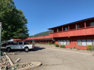
Starting in Ft. Jones, you will find an outhouse behind the Chevron station in town that is usually very clean. Coffee, snacks etc. and indoor bathroom if needed/preferred. Across the street from the Chevron is an older building that was once a bowling alley that has plenty of parking if you are need of a staging area for your crew to ride with you.
Note: about drinking water along the ride (campgrounds): Some are “very” comfortable with using the water spickets at the campgrounds. This would be your choice if you choose to use this resource.
Please make sure to check in with the Fort Jones Forest Service Ranger Station before you head out for your ride.
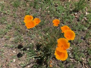
Riding SRR in the spring time is a real delight. Wild flowers are every ware with too many wonderful smells to describe. The river can be such a joy to listen to as you ride your way down to the Klamath River Road (Hwy 96). Glimpses of the snow covered mountains (on certain years) is pure joy to the visual uptake of fun. This road is very low traffic. If you like being out away from town, low traffic and love the beauty of woods, trees, flowers and following a river….this ride could be for you.
When the summer heat is unbearable in the late of summer….riding down SRR can be a true relief. The shade in the trees along the way can be wonderful. The river will get lower in the late summer, but the shade is still a nice treat.
Last note: if you wanted to shorten this ride by 15 miles-ish…you could stage at Quartz Valley Rd. (7. something miles down SRR from town). This 7 mile stretch is flat and in the sun and some prefer to avoid this flat section, your choice.
Cheers!
Buzz Lawson
View Scott River Rd – Road Biking Route in a larger map
